

Skrevet av: Niels Westphal
Dato: 11.03.2015 15:07
Many media have reported that an expected storm can hit the Finnmark coast over the next few days, and that there is a possibility that the race may be 'frozen', i.e. that the competition is suspended for a given period of time. However, according to the weather forecast that the race authorities have received from the Met Office in Tromsø, it is unlikely that the dogs and mushers will be hit by the storms.
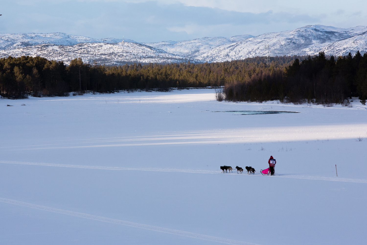
Foto: Steinar Vik
Freezing the race never an option
Race Marshall Rita Hallvig says it was never an option to freeze the race, although it might appear from news headlines that it might be.
- We cannot guarantee anything with respect to how the weather is to develop. The forecast says strong winds and blasts, however, only in a genuinely extreme situation would we consider freezing the race.
Hallvig emphasizes that the MetOffice did not send out any extreme weather warning for the Finnmark Race yesterday, and that the race authorities have not taken any further precautions than those which are normally taken during any Finnmark Race.
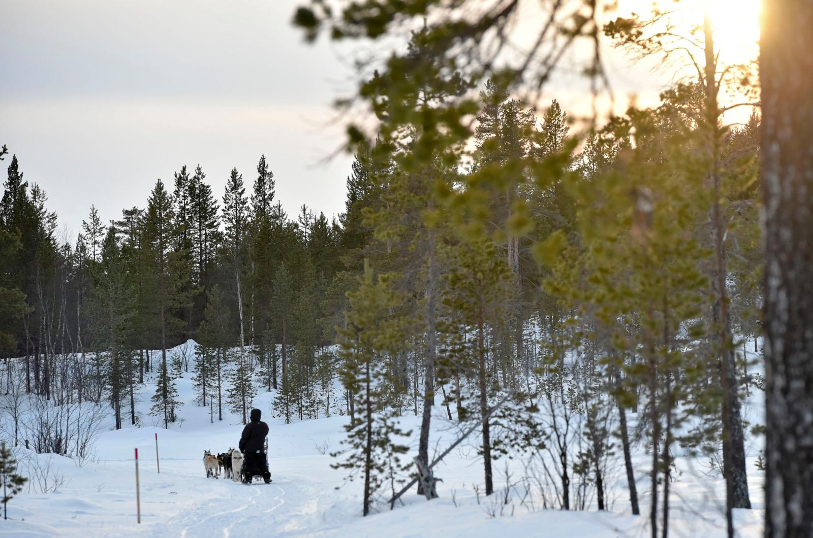
Foto: Dmitry Sharomov
- The mushers that enter the FL-1000 are very experienced mushers who are used to being out in the wild on their own in all kinds of weather. They know how to take care of their dogs and themselves under rough conditions, she emphasizes.
This is the weather forecast from the MetOffice in Tromsø:
Alta-Kirkenes-Pasvik
Wind direction/force: Increasing gales in exposed areas, from the morning onwards up to strong gale 20 m/s. There may also be blasts of wind near Jotka and Skoganvarre, around the Tana river immediately to the east of Karasjok, and north-east of Rasttigaisa.
Air temperatures: -2 to -7. From the late morning -3 to +2, mildest in Alta.
Downfall: No downfall, from the afternoon some snow squalls west of Sirbma.
Clouds: Light clouds in the east, drifting cloud cover in the west.
Sight: 0,5-5 km during snow squalls, otherwise 10+ km.
Alta-Kirkenes-Pasvik
During the night wind blasts 25 m/s. Later the wind will temporarily decrease to south-west periodic minor gale 12 m/s in exposed areas, however, it will increase again in the afternoon to southwest gale in exposed areas. Some snowfall in northern areas early in the day.
Alta-Kirkenes-Pasvik
Early Saturday the last phase of a pressure will arrive and give brief western strong gales 20 in exposed areas. Some rain or sleet in the north. From the late morning a high pressure ridge will pass, and the wind will gradually increase to periodic fresh breeze while the downfall also ends.
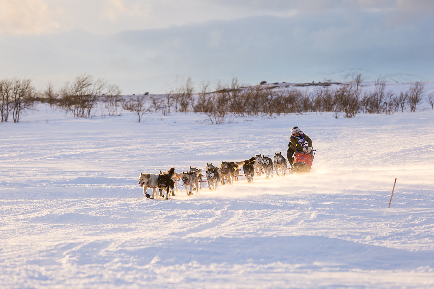
Photo: Mads Suhr Pettersen